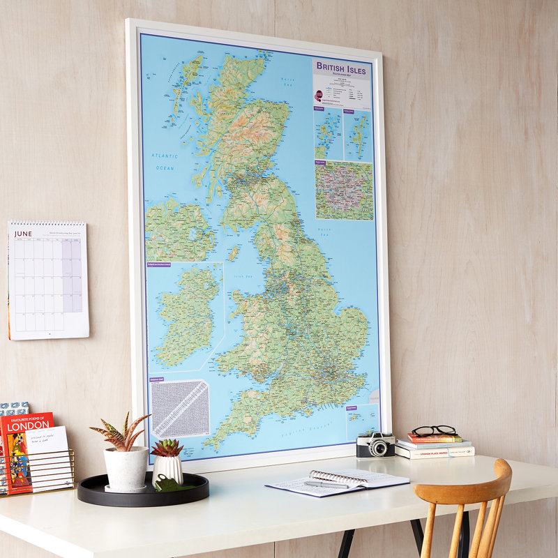
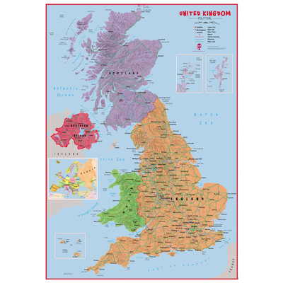
Routeplanner map selection of British Isles maps. British Isles route planning map shows the motorways, major roads and transport hubs such as airports and rail routes in the UK. Routeplanner maps show the major towns and their approximate population in the British Isles. Routeplanner map also contains a useful table of towns and their distance apart. Extremely useful in organising journeys. times and route planning. This British Isles route planning map is ideal to display in offices or depots. Designed for rigidity, appearance and the ability to be tacked with pins. Supplied unframed.