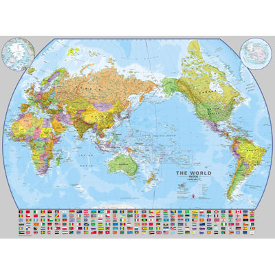
This wall art is a political world wall map designed specifically for children of a pre. school and primary school-aged children. This map features the continents, country borders, all capital cities, major geographical landmarks and sea shading. This political world wall map is brightly coloured enabling each country to be easily identified. This world map for children also shows country and continental boundaries and international dateline. Ideal for display in a range of locations. Its bright colours look great in children's bedrooms, playrooms and of course, in classrooms. This medium primary world wall map political (laminated) with encapsulation gives the map a write-on, wipe off finish. Using a dry wipe marker, any writing on the map can be wiped off with a proprietary cleaner.