Get it Tue, 30 Jun - Fri, 3 Jul
to
D01 RX04
Shipping fees may apply*

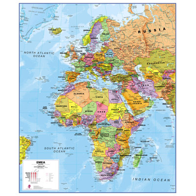
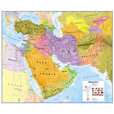
Textual Art

Primary Art Material: Paper

Unframed
Size:
100cm H x 120cm W x 0.5cm D

Earn {EARNING_RATE} back¹ in rewards today, plus free standard delivery² on future purchases & more after you join.
€33 in 3 interest-free payments
About This Product
Other Dimensions
Details
Assembly
Warranty
Not loving it? We offer returns for most items within 30 days of delivery for a refund or store credit
Learn MoreRated 0 out of 5 stars